Project 360: The digital alpine cartography
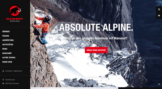
FRAMEWORK PROGRAM Mammut opens up new perspectives on the mountains of this world. #project360 opens up the third dimension of digital alpine cartography and lets users experience the myth of the most famous mountains up close on the screen via a new touring platform. With #project360, the Swiss mountaineering specialist Mammut opens up the mountains of this world virtually and visually - from a mountaineer's point of view and directly from the [...]
With #project360, Swiss mountaineering specialist Mammut opens up the mountains of this world virtually and visually - from a climber's point of view and directly from the wall. The images for this are provided by a specially developed backpack with six cameras for a complete all-round view. Professional alpinists and Mammut employees have carried the camera backpacks to over 30 mountains worldwide since the beginning of 2014. Of these, five tours are now online: Eiger North Face (CH), Matterhorn Hörnligrat (CH), El Capitan (USA), Elbrus (RUS) and the Rübezahl Icefall (CH). The resulting 360° images and movies are available on www.project360.mammut.ch and as an app for Android and iOS.


